Utiliguard 2 RTK
Map With Centimeter-Level Accuracy.
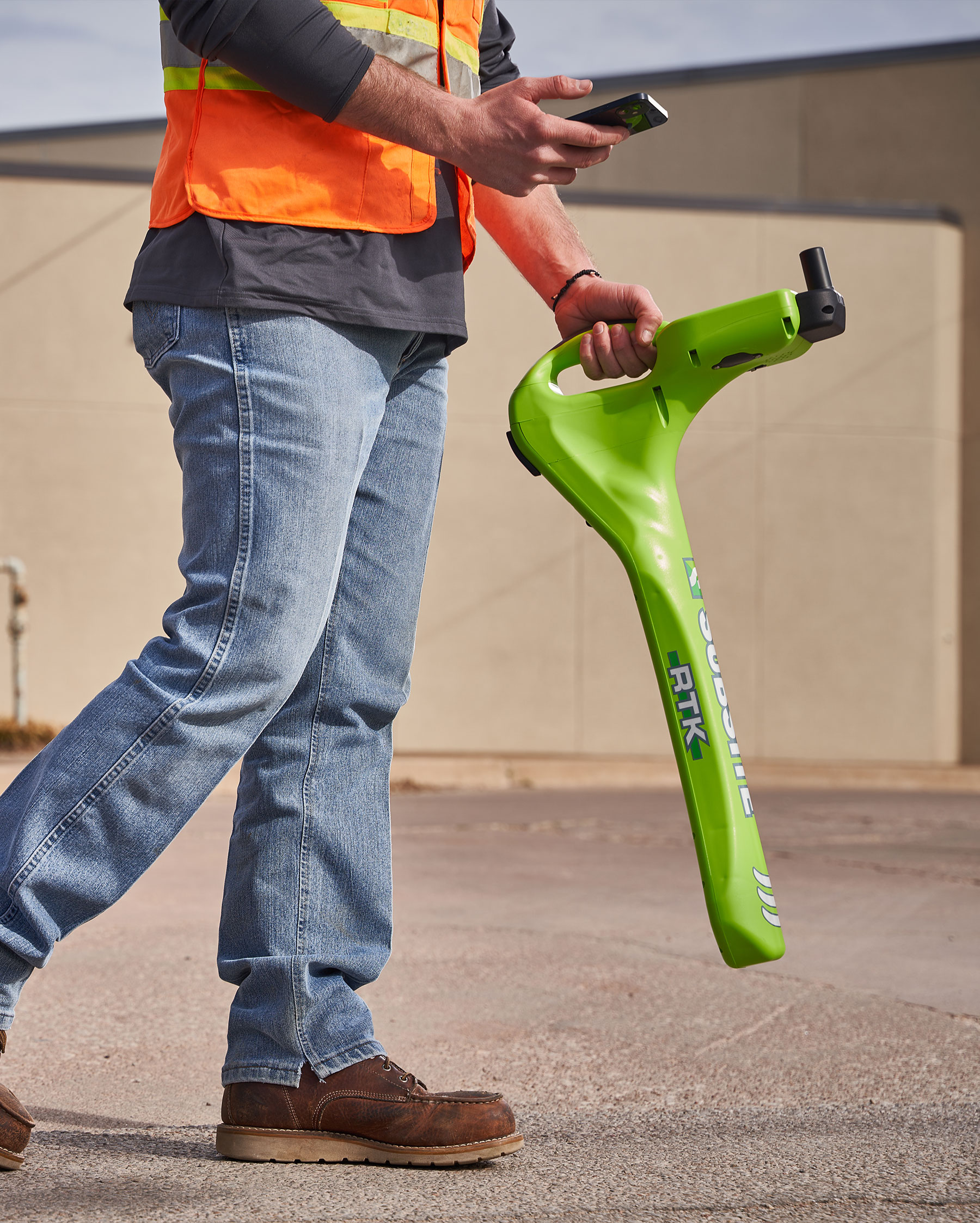
Take your mapping capabilities from right around it to right on it with the uber-accurate UtiliGuard® 2 RTK.
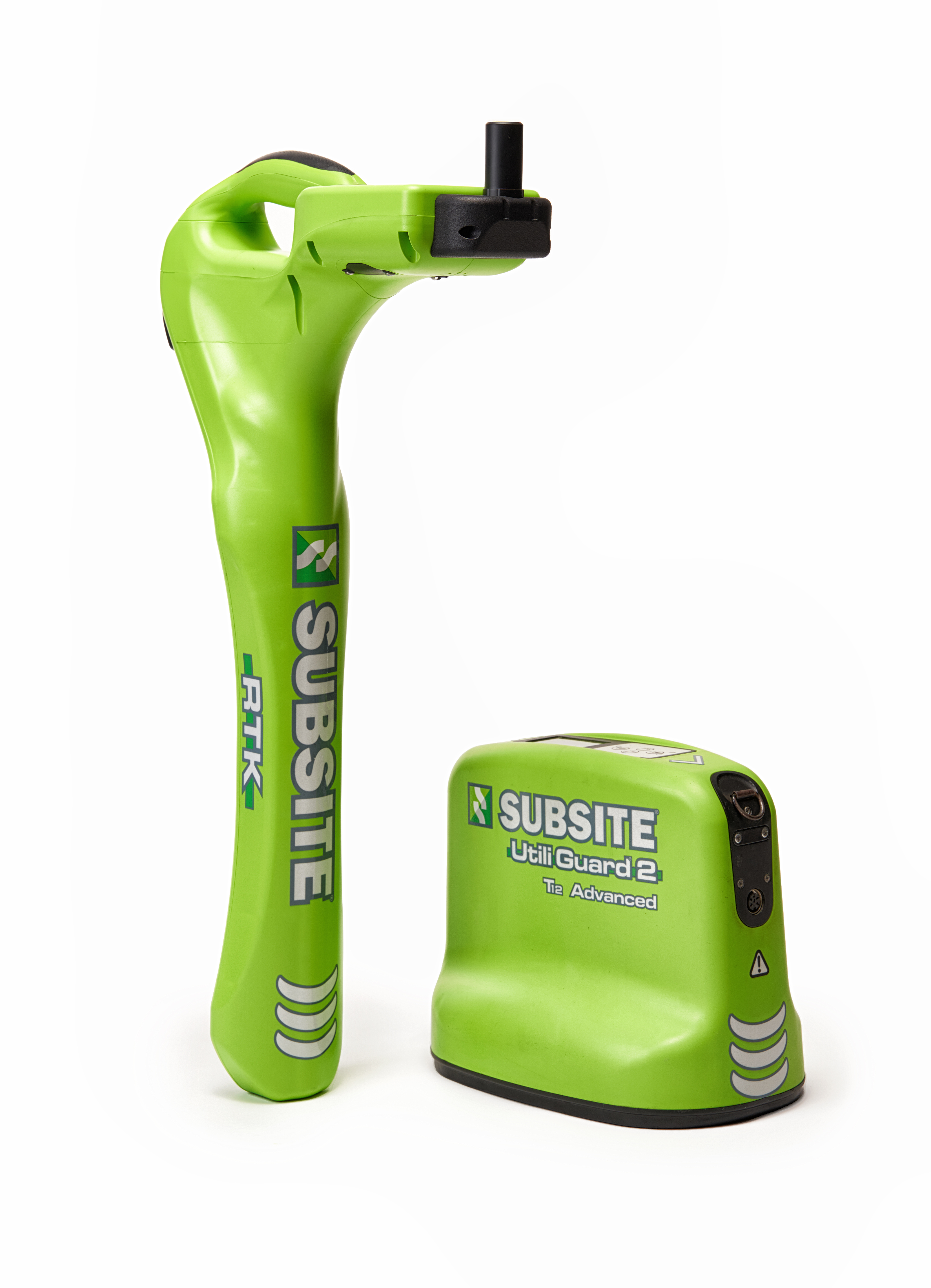
Built with innovative RTK technology, the UtiliGuard 2 RTK allows you to locate and map utilities with centimeter-level accuracy. This pinpoint level of exactness evolves your capabilities from best guess to best grade. Plus, the RTK is compatible with high-accuracy mapping solutions, features an impressive data storage capacity, and packs plenty of productivity-boosting advancements.

Key Features.

- RTK Accuracy – RTK capabilities and correction service* compatibility brings staggering accuracy to your job. The unit must be used with the MyUtiliGuard or UtiliView app to achieve centimeter-level accuracy.*Service may require third-party subscription
- High-Accuracy Mapping – The unit is compatible with third-party mapping solutions that allow you to easily and accurately map surface structures.
- Data Storage Capacity – Store up to 1 million data points locally on your unit, allowing you the flexibility to easily access your data across remote locations.
- Offset Depth View – Offset depth view function provides easier mapping by enabling you to measure horizontal and vertical distances for a utility that is not accessible from above.
- Instant Data Transfer – Get mapping-ready data easier by using the MyUtiliGuard App to export your data directly to your GIS mapping program. The UtiliView application allows a seamless mapping solution to ESRI.
- AIM Technology – Ambient Interference Measurement technology scans the area for noise and recommends the best operating frequencies, helping save time and get the job started sooner.
- High-Grade Antenna – Antenna brings a stronger signal to and from the receiver for more dependable performance across remote jobs.
- Dual Output Transmitter – Dual output transmitter allows you to connect to and map two utilities at once, helping you locate utilities in half the time.
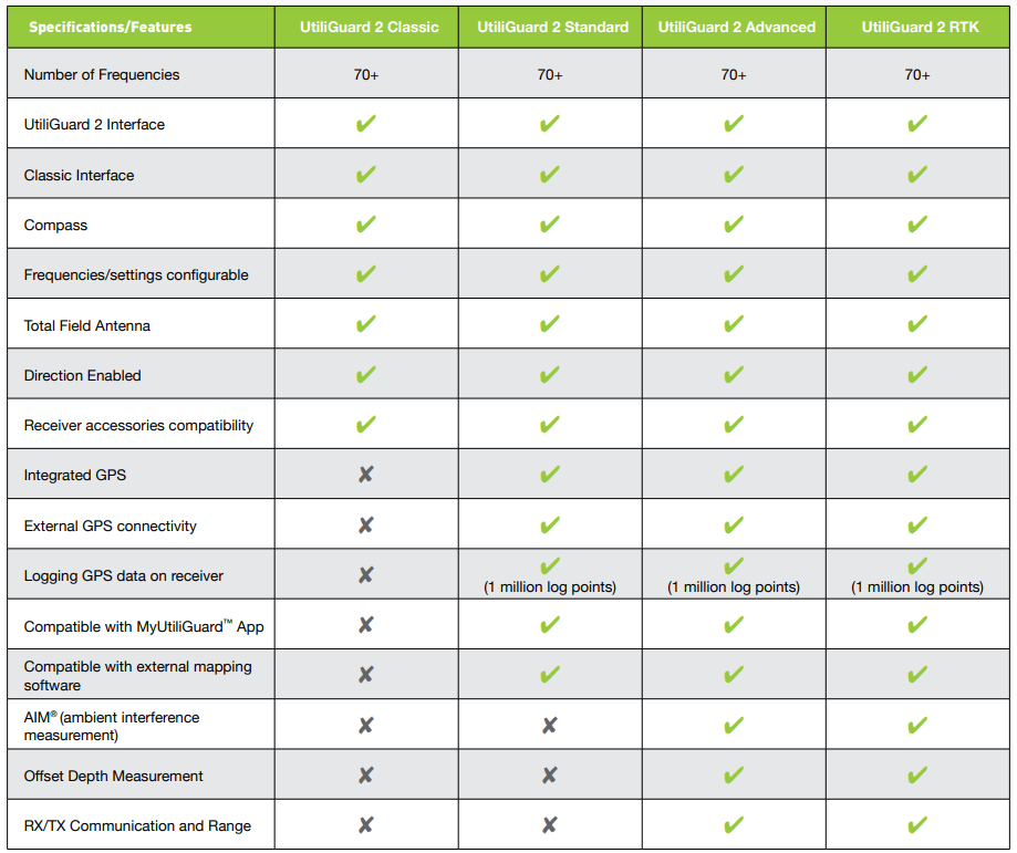
Compare The UtiliGuard 2 Series

